
We are proud to announce the release of our first Catalogue of Satellite Imagery Products and Applications. This is the result of a combined effort of many people over several years that shows our commitment and capabilities in the development of EO products and applications within SIMBAD.
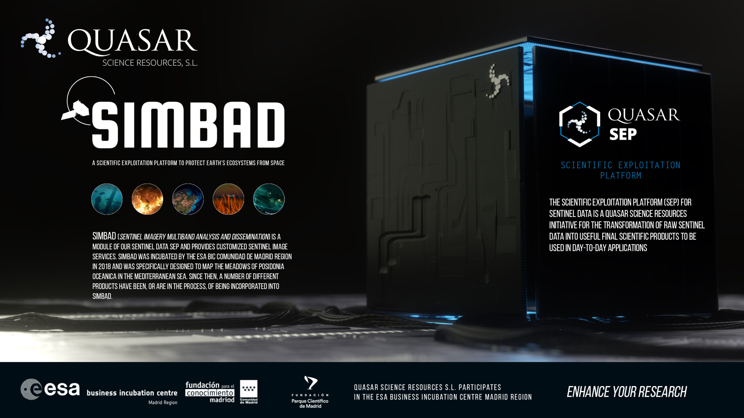
SIMBAD facilitates the exploitation of EO data by developing applications to address societal challenges, enabling policymakers, authorities, and environmental agencies to develop long-term strategies as well as to react efficiently to sudden critical situations.
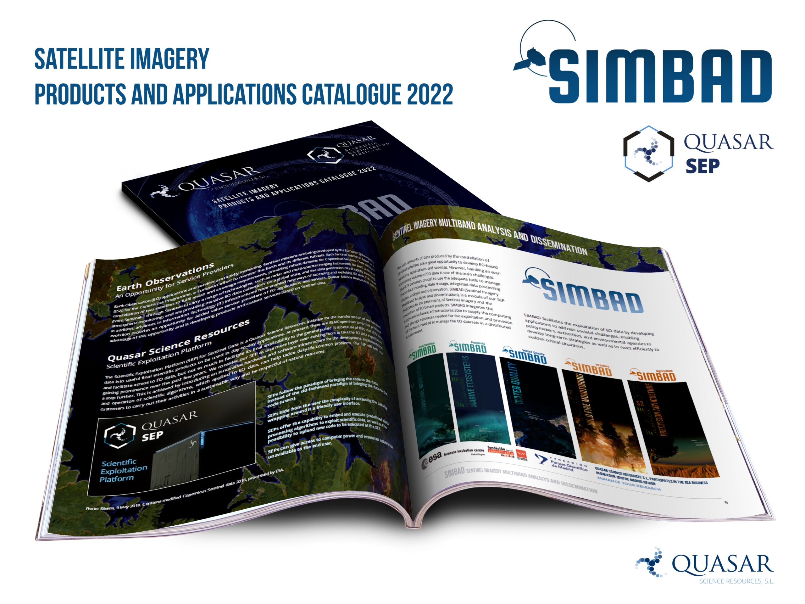
SIMBAD (Sentinel Imagery MultiBand Analysis and Dissemination) is a module of our Sentinel Data SEP and provides customized Sentinel image services. SIMBAD was incubated by the ESA BIC Comunidad de Madrid region in 2018 and was specifically designed to map the meadows of Posidonia Oceanica in the Mediterranean Sea.
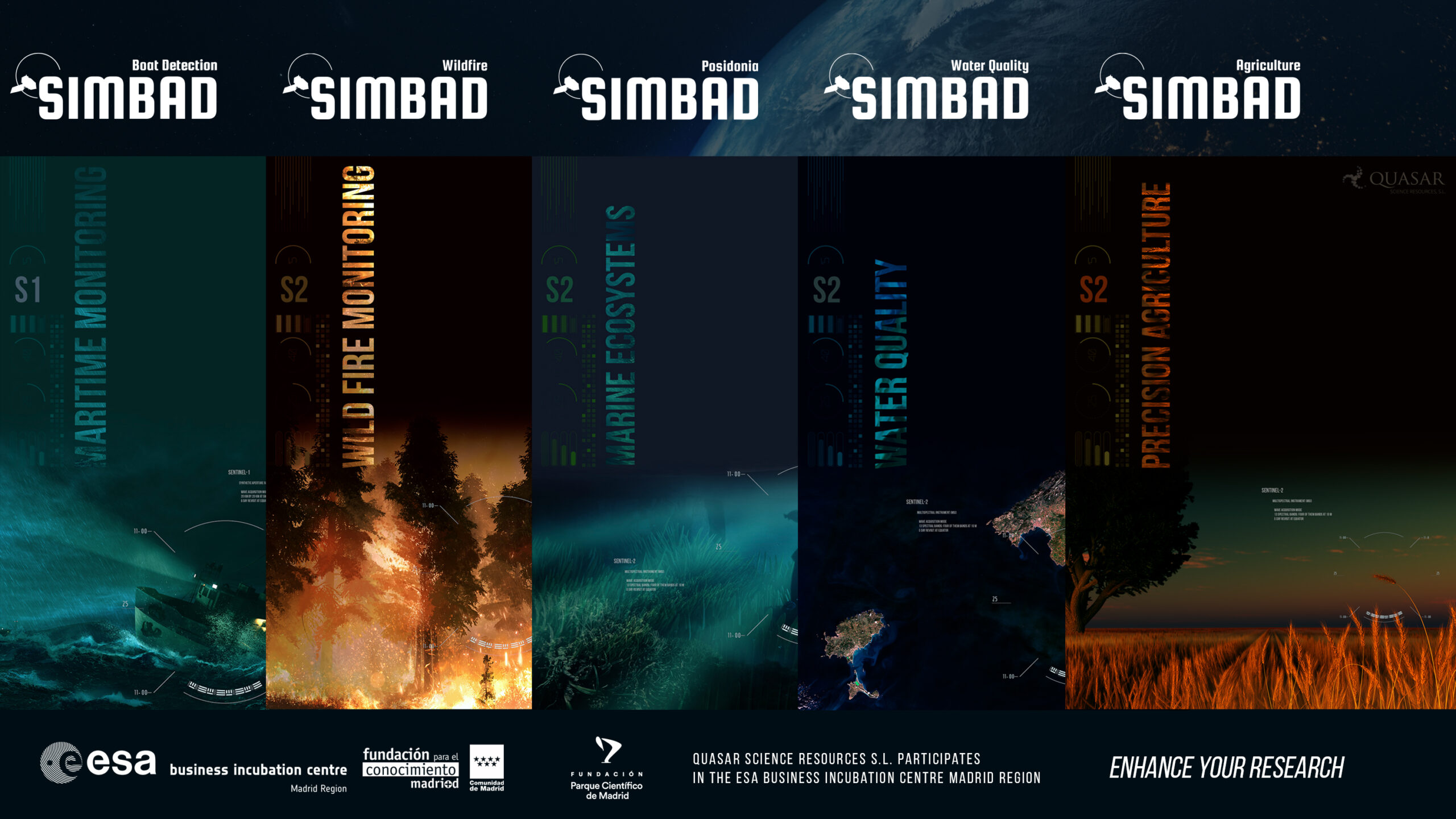
Since then, a number of different products have been, or are in the process of being incorporated into SIMBAD. These include the areas of:
- MARITIME MONITORING
- MARINE ECOSYSTEMS MONITORING
- WATER QUALITY MONITORING
- WILDFIRE MONITORING
- PRECISION AGRICULTURE
For further information, direct any inquiries about SIMBAD or its products to the following email address: contact_simbad@quasarsr.com