
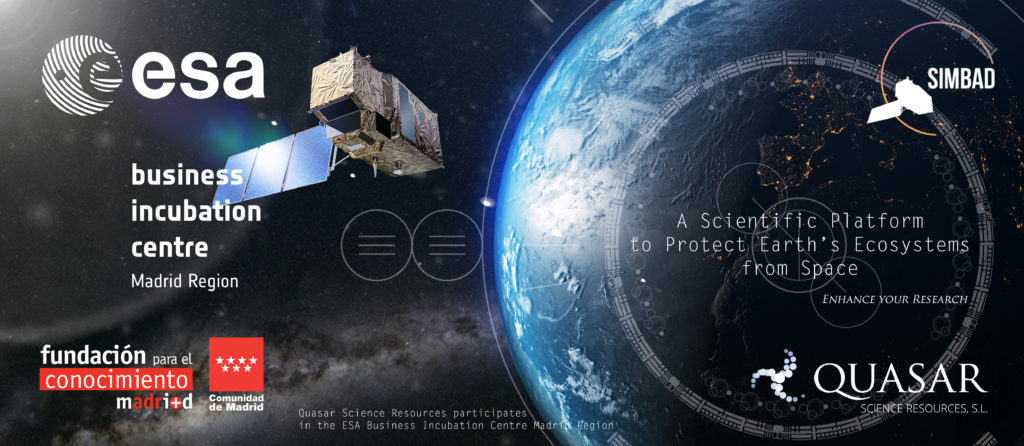
SIMBAD is a scientific platform born with the aim to protect Earth’s ecosystems from space, in particular, to monitor the Posidonia Oceanica (P. Oceanica) meadows in the Mediterranean Sea. This platform is being developed by Quasar, a company selected in 2018 to join the ESAC BIC Comunidad de Madrid program and incubated at the Parque Científico de Madrid, an initiative by the universities Autónoma (UAM) and Complutense de Madrid (UCM).
Posidonia prairies are essential for the marine ecosystem, hosting more than 1000 different species of animals and 400 of plants. P. Oceanica grows in shallow waters (up to 30-40 meters) where the sunlight still reaches the sea floor. The information regarding these sea beds is of importance for ecological and economic reasons; the meadows work as a carbon sink (CO2 storage), vital to fight climate change and contribute to oxygenate the coastal waters and prevent coastal erosion, especially of the sandy coasts. For these reasons it is vital to monitor its evolution with time as well as to identify external risks that could affect its habitat.
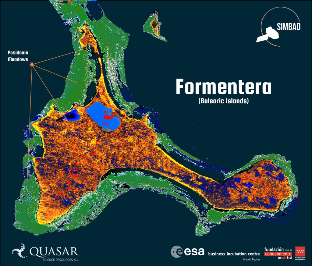
Monitoring these meadows, every 2-5 days, is possible thanks to the use of multiband Sentinel-2 imagery (Sentinel is a family of missions specifically designed for Earth Observations by ESA for the Copernicus programme). In particular, Sentinel-2 bands B1-B4, B8 data are used to obtain the Posidonia maps. Satellite data has to be processed to prepare a data set for further classification of the sea bottom types. First, the area of interest is defined and the water column corrections* are performed, keeping in mind that atmospheric corrections are not needed as Sentinel-2 L2A data is already atmospherically corrected. Next, image pixels corresponding to land, cloud and deep-water are removed. The resulting data is combined with bathymetry data (water depth) to eliminate those areas where the water depth is greater than 30 m deep. The land mask is prepared using Sentinel-2 band B8 data, while cloud masks are already included in Sentinel-2 data. Finally, with the use of machine learning algorithms, it is possible to identify the Posidonia locations.
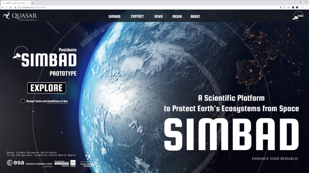
SIMBAD Prototype is the summary of a year of development where both the necessary infrastructure and analysis tools have been put in place to make SIMBAD possible. SIMBAD Prototype is a platform that shows P. Oceanica meadows around the Balearic Islands. It also includes the latest news, the possibility to subscribe to the SIMBAD news bulletin as well as images and project documentation. In its next phase, SIMBAD will cover the whole of the Mediterranean Sea. Currently, tools to provide the ability to explore back in time the evolution of these meadows are been developed and will help to protect the environment. We will keep improving and adding functionality to the user interface; we are also developing software tools that would allow the interaction with these maps.
* Traganos, D., and Reinartz, P. Mapping Mediterranean seagrasses with Sentinel-2 imagery, 2017.
Visit SIMBAD Prototype at:
For any inquiries about SIMBAD Prototype, functionality, future plans, contributions or collaborations, please contact us using the form provided at the given url below.
More information about SIMBAD at:
https://quasarsr.com/simbad
https://quasarsr.com/wp-content/uploads/2019/04/QSR-ESABIC-SIMBAD.pdf