
![]()
The H2020 StarFormMapper project kicked off on the 21st of July 2016 in Cardiff, UK. The four members of the Consortium, including Quasar S.R., met on a one day meeting at Cardiff University to start up the project and discuss the project expectations. The project has created a website where information, news and updates on its progress will be provided.

SFM Official Website
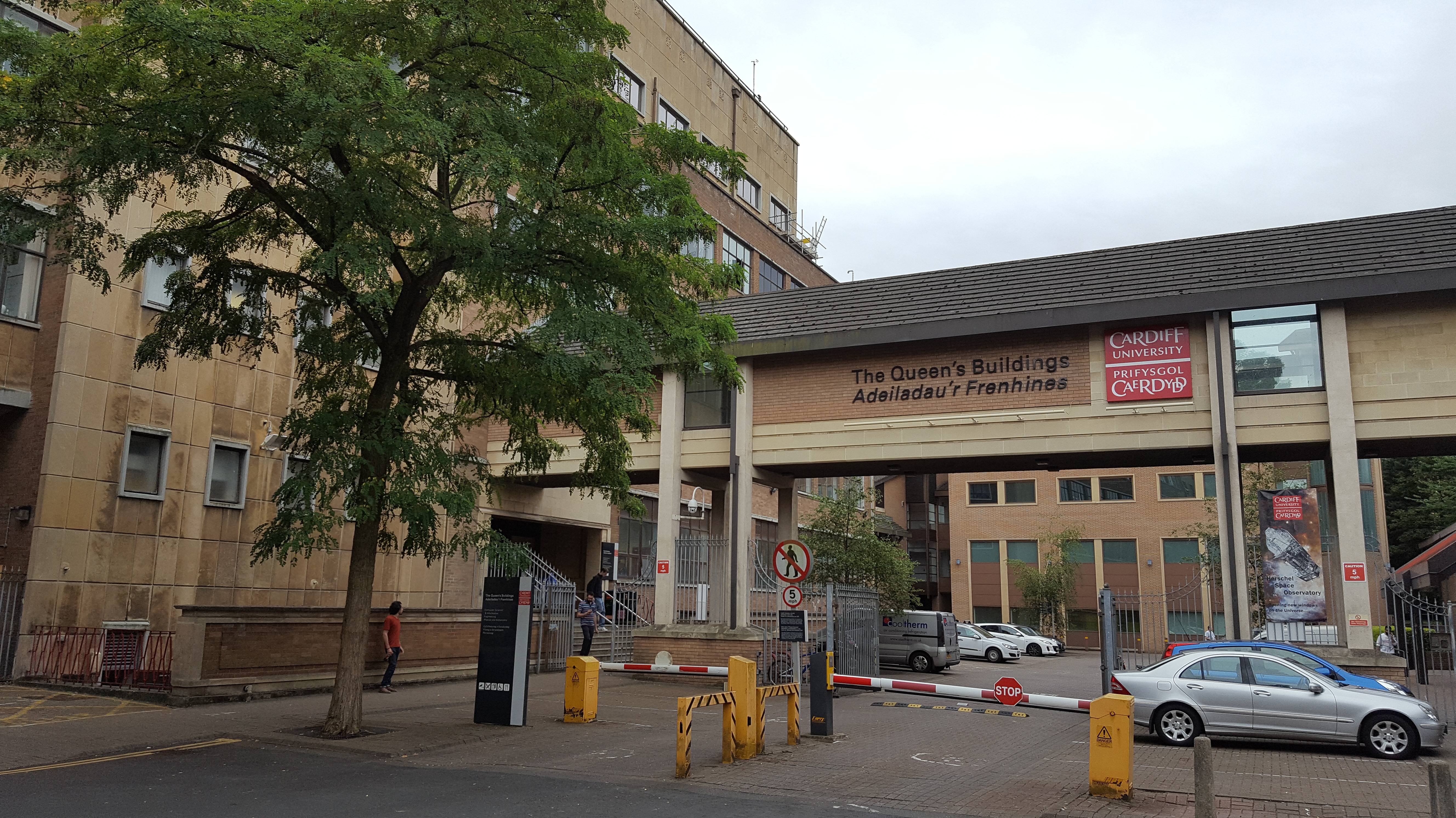

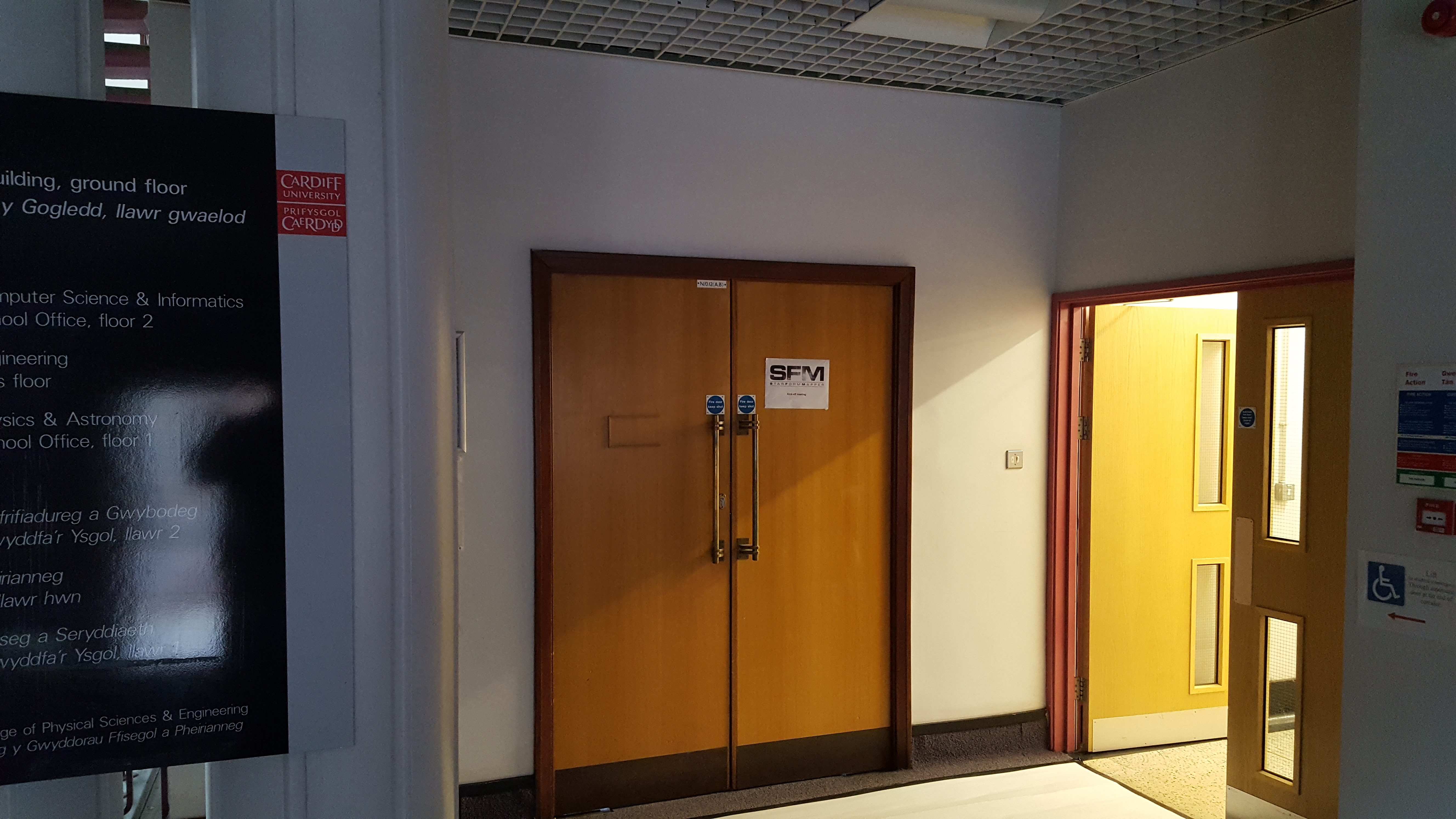
Images of the Astrophysics Department at Cardiff University on the day of the project Kick of Meeting.
Project Overview
Call COMPET-5-2015 of the “Leadership in enabling and industrial technologies – Space” theme
The key scientific aim of the StarFormMapper project is to combine data from two of ESA’s major space missions, Gaia and Herschel, together with ground based facilities, to constrain the mechanisms that underlie massive star and star cluster formation. Collectively, these facilities represent a considerable fraction of the total investment by Europe in astronomy. Taken separately, however, these missions give an incomplete picture but their combination will cover all stages from the formation of molecular cores, through the formation of stars, to the dispersal of the gas in young clusters. We will require new techniques in order to to extract the full scientific value from this combination. We will develop new automated statistical techniques and common user tools that will provide a community wide benefit. Our scientific results will underpin the study of how all galaxies evolve.
Project Aims
To address the exploitation of public data from the ESA Gaia and Herschel missions. Their combined capability, together with existing ground based public archive data and a modest programme of ground based astronomy, will allow us to address some of the key issues in our understanding of how massive stars and their parent clusters form. This aspect of the work addresses the scientific exploitation of existing European satellite data.
To create common user tools that will be offered to the community to provide the analytical tools developed in a fashion that will merge seamlessly with the Virtual Observatory and the ESA science archives.
To search for new statistical techniques whose use has analogues in a variety of other disciplines (especially in the field of remote sensing). Our collaboration with an SME on this project also gives a natural outlet for exploitation of any methods we derive in the wider commercial environment.